 |
 |
 |
 |
 |
 |
 |
 |
 |
 |
 |
 |
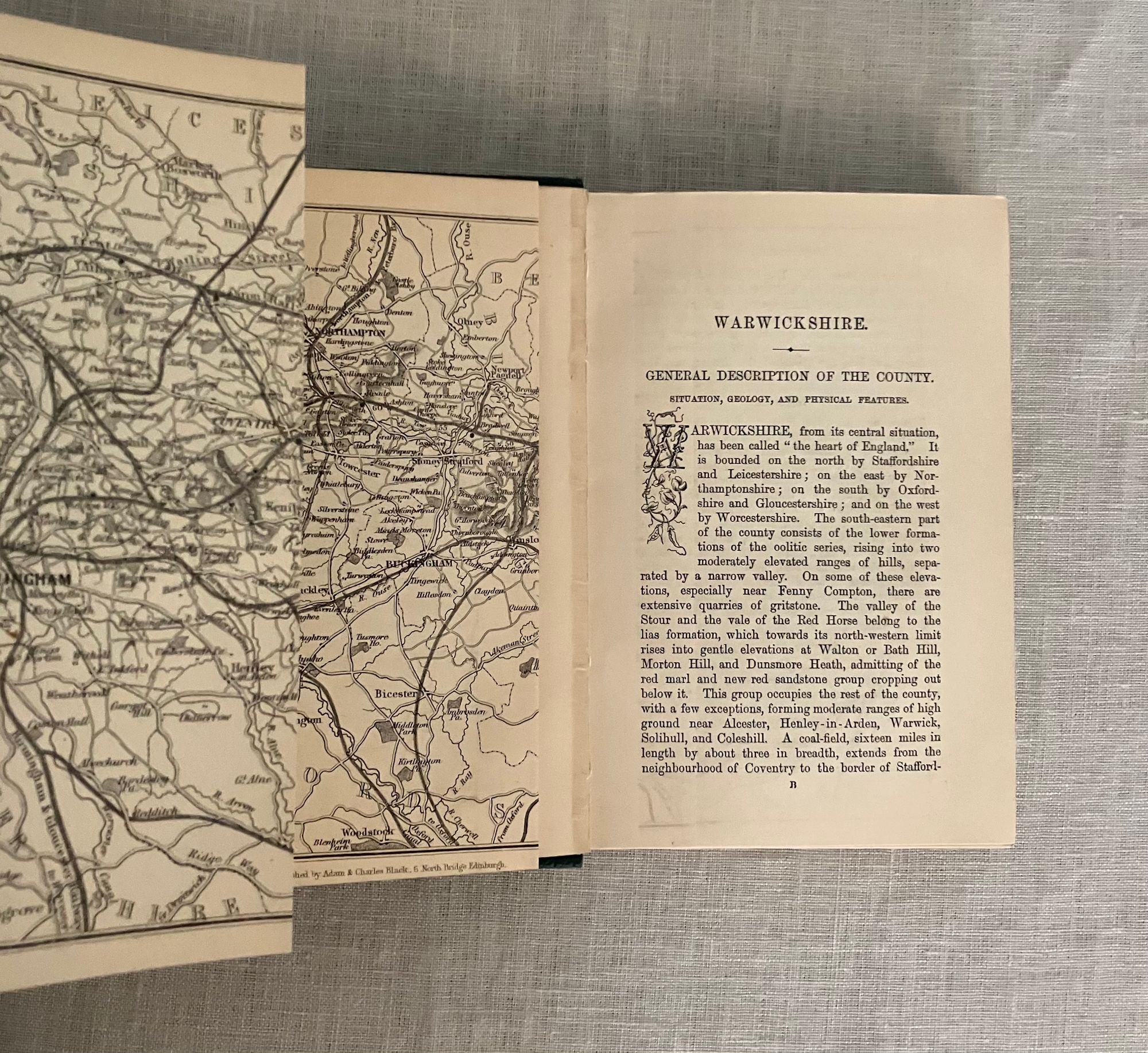

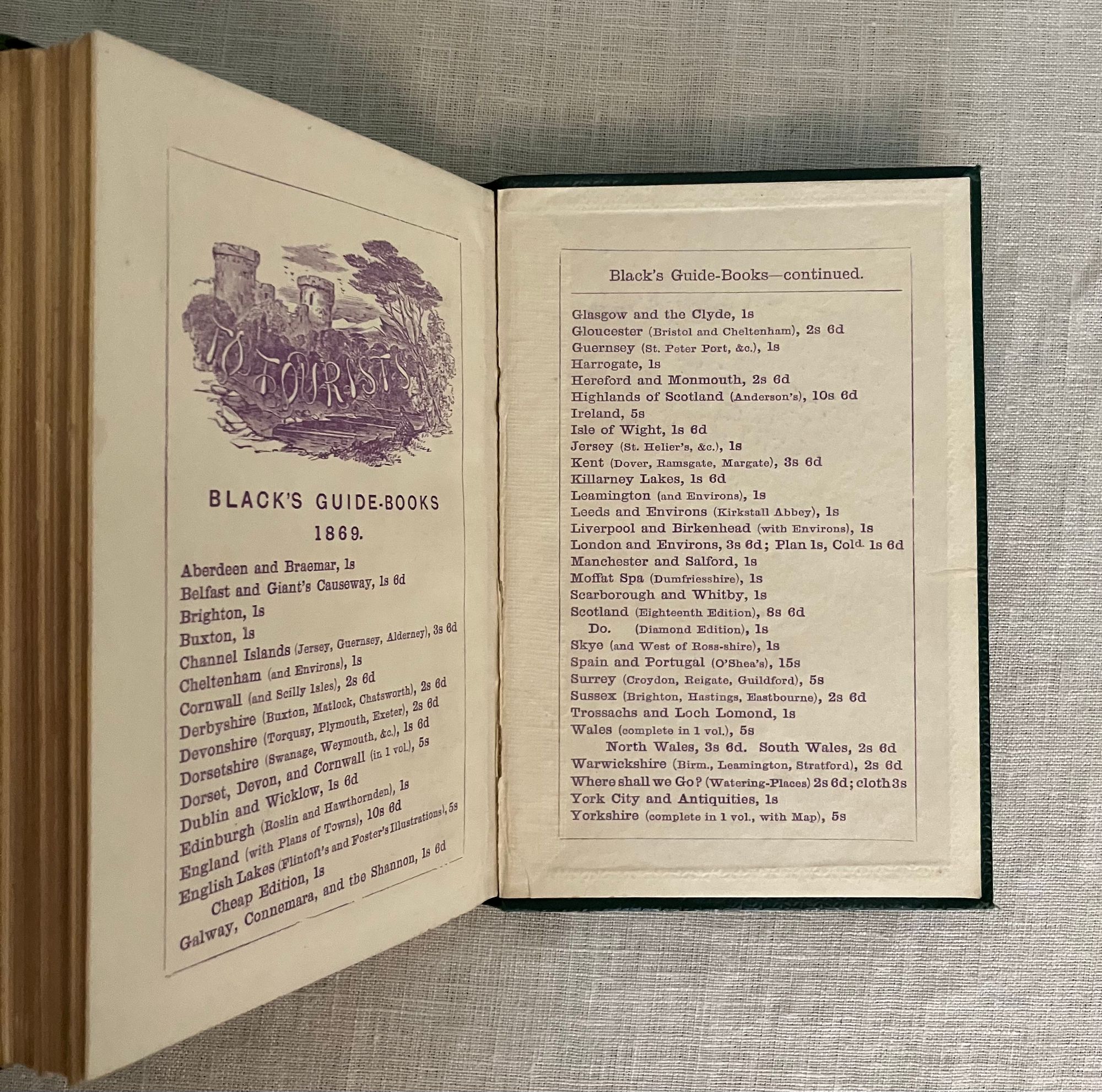
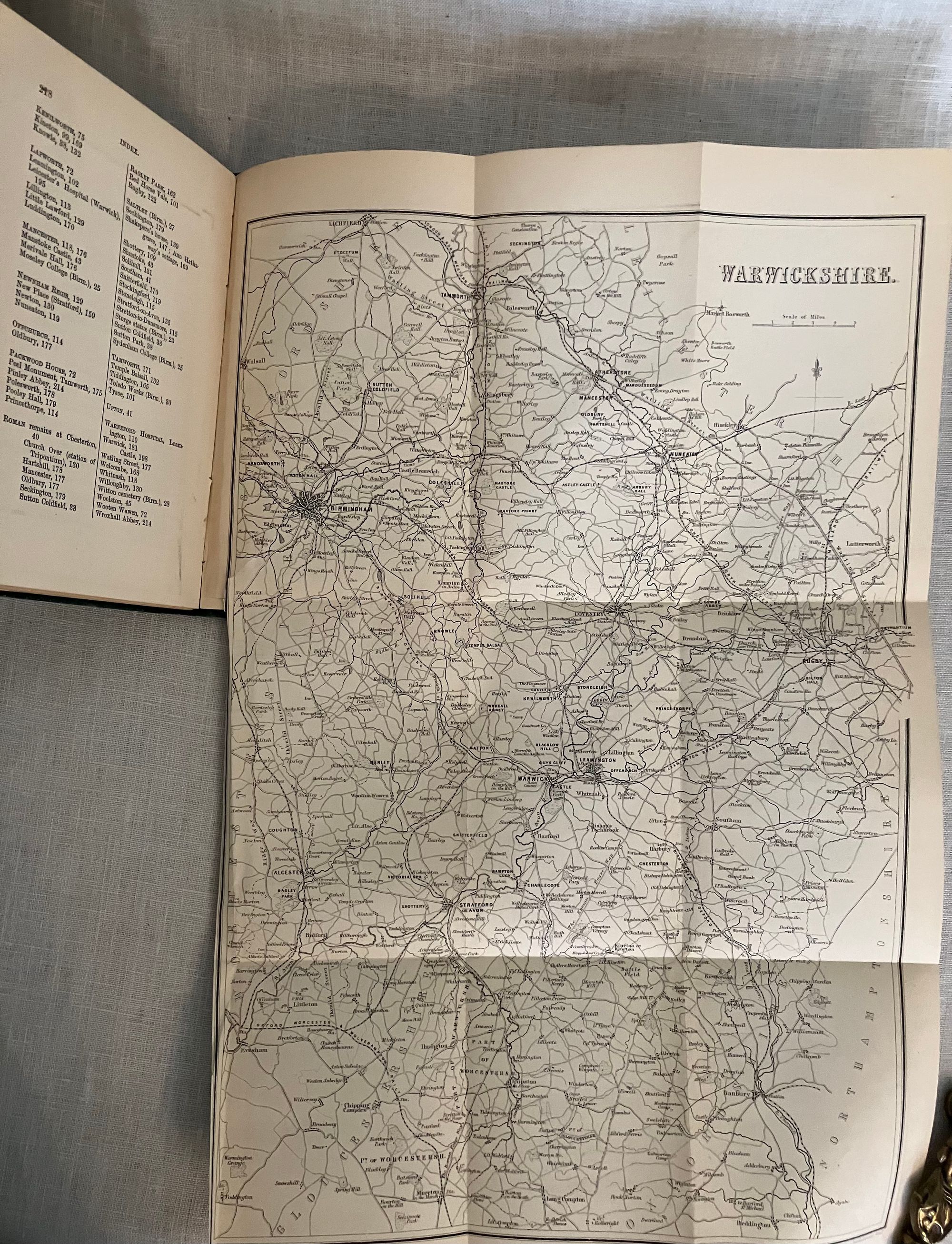


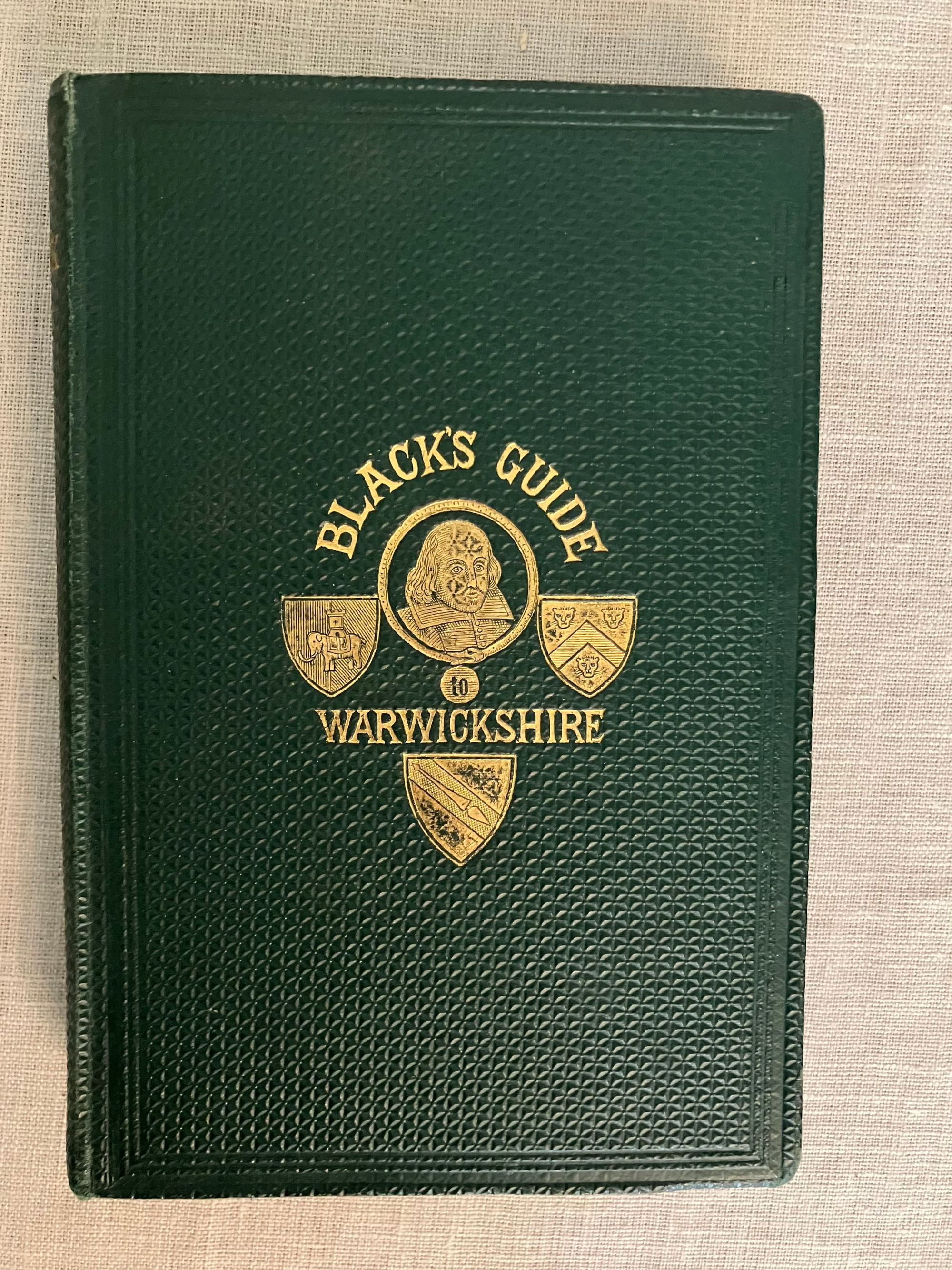
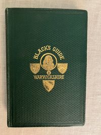
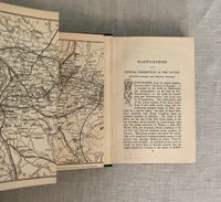
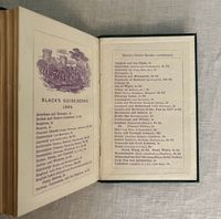
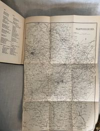
Possibly Second Edition. (Third edition was 1874.) Hard cover 16mo, in the original green cloth blindstamped in a geometric pattern (Blanck type Z) within double ruled borders in blind, the title blocked in gilt around a central vignette design featuring in image of Shakespeare's head and three shields. Titles blocked to spine, rear board with only the blind stamped pattern. A printed map of England appears on the endpaper highlighted with a gold heart showing Warwarkshire area. A "Distance by Rail" feature in a starburst shape on the ffep., is also highlighted with gold. Frontispiece engraving of Kenilworth Castle appears opposite title page. Two fold-out maps detailing rail lines. and two smaller maps within text. **Contains a paginated 48pp." Black's Guide-book Advertiser" section (dated 1869) at the rear with "hotels in alphabetical order," and many charmingly engraved illustrations of the premises. Other useful travel products include Keating's Cough Lozenges and Insect Killing Powders, (hopefully not to be confused.) Rear end papers printed in violet, dated 1869 with titles for the 48 -item Black's Guide Book Series, with this item priced at 2s 6 d.
Ref: ACBK 9235
$90.00