 |
 |
 |
 |
 |
 |
 |
 |
 |
 |
 |
 |
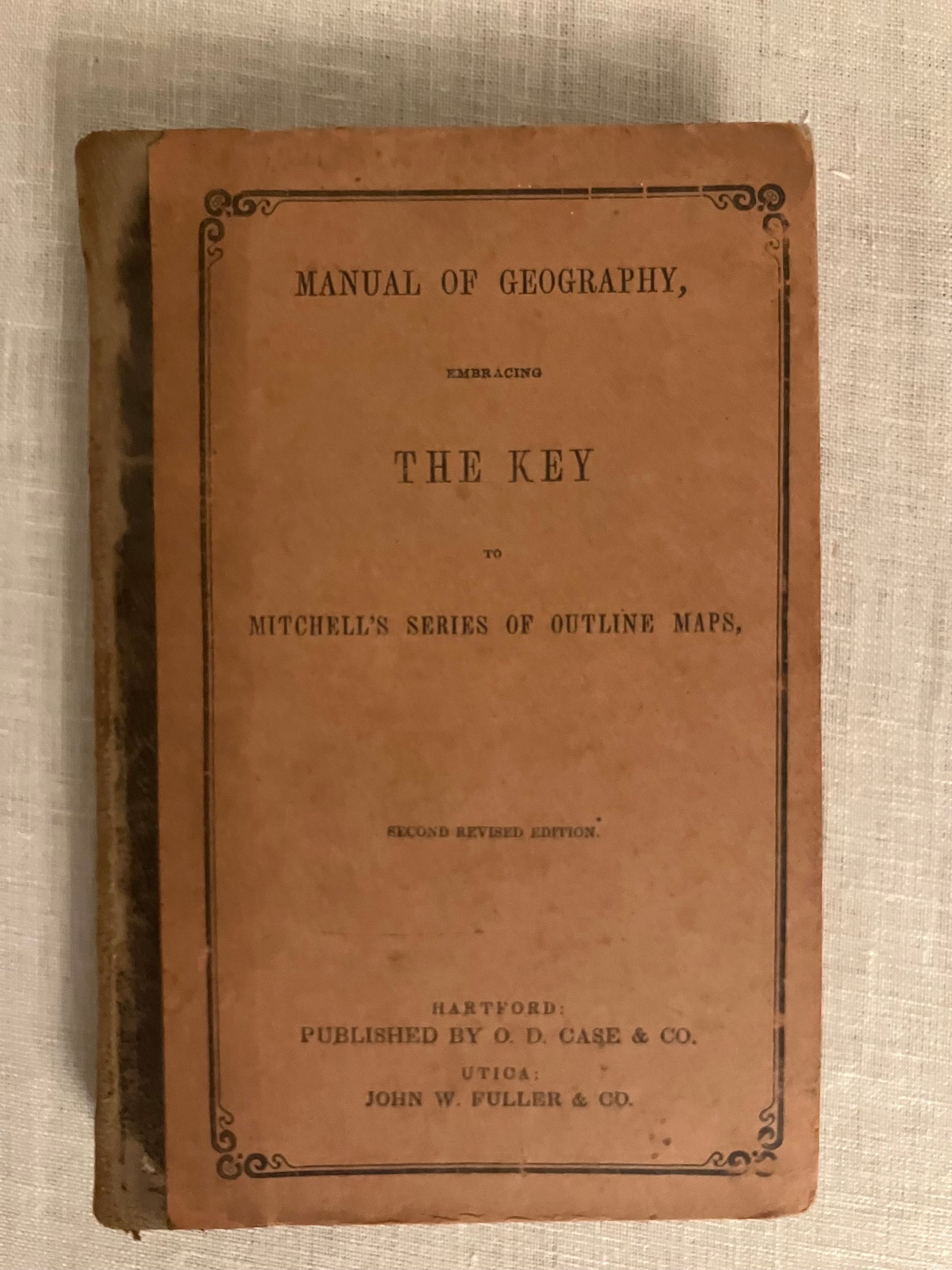

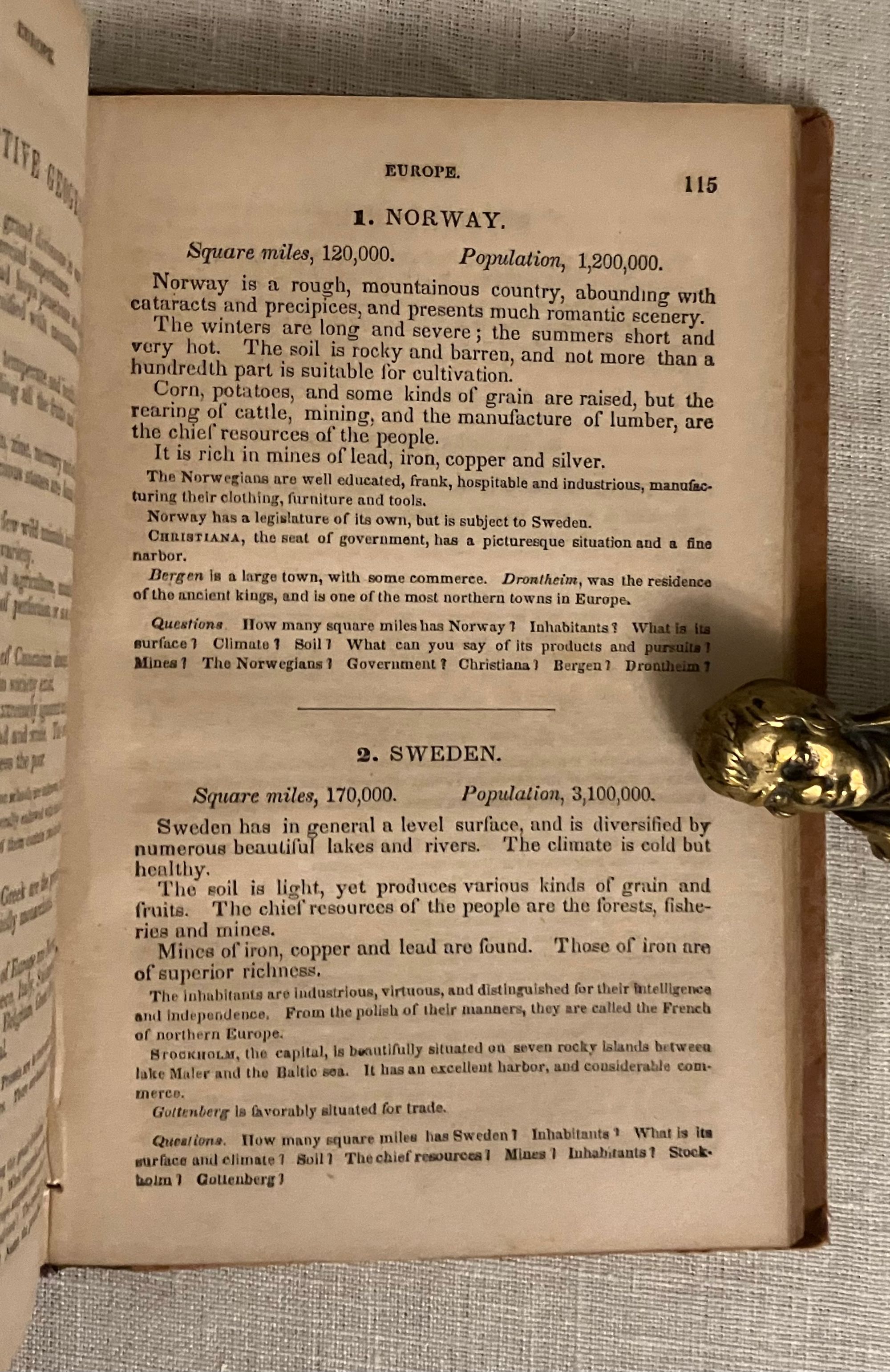
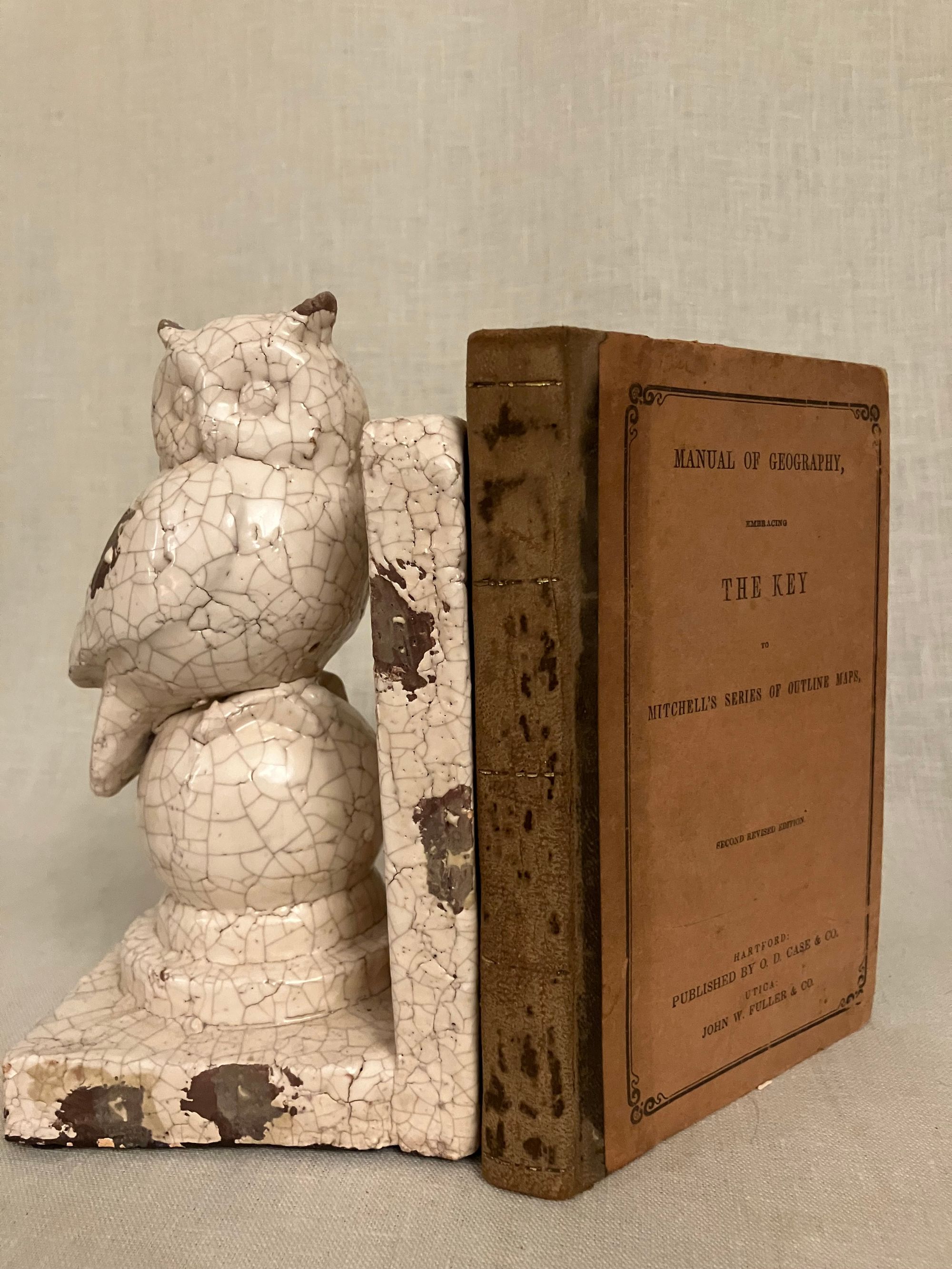


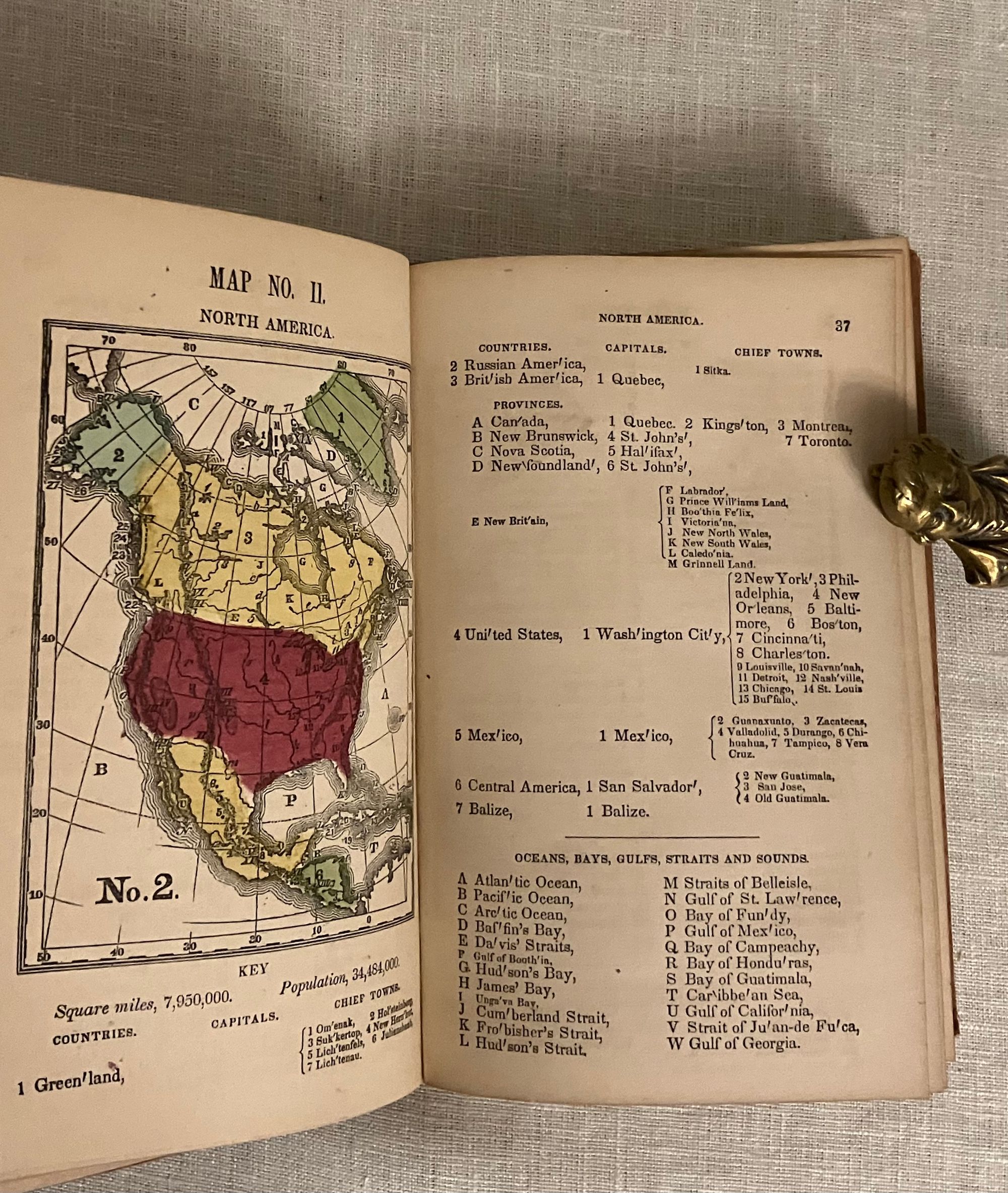
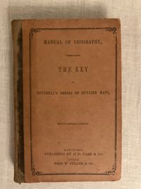
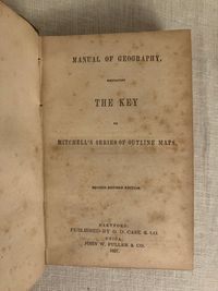
Reprint. Copyright stated as 1853. Hard cover, 16mo, (measuring 4 1/2 x 6 1/2 inches), in quarter calf over brown, paper-covered boards, the front with titles printed, advertising on the rear cover, the spine with gilt banding, title worn away. Advertising for Strong's System of Penmanship, dated September 1854, with testimonials from various Swampscott, Mass. individuals.) Stereotyped by Richard H. Hobbs, Hartford, Connecticut. Printed by Case Tiffany and Co., Hartford, Connecticut (verso title pg.) **Bound in are eight maps (complete) printed in black, red, green and yellow: Map I The World or Hemispheres (double page), Map II North America, Map III U.S. and Mexico (double page), Map IV South America, Map V Europe, Map VI Asia and Map VII Africa and Map VIII Oceana. This was meant to supplement the classroom instruction of geography, as a manual to larger classroom wall maps. Includes hints for teachers, identified places of interest, hachure lines indicating topography, interesting historical context of the existing territories of the mid-nineteenth century United States, population and other facts and figures. This went into numerous printings, this particular edition being a reprint of the second revised edition, first debuted in 1853, according to the copyright. **Samuel Augustus Mitchell (1792-1868), and his son, Samuel Augustus Mitchell, Jr. (1826-1882), were influential Philadelphia geographers and mapmakers, whose sets of hand-colored, lithographed wall maps were widely used in schools beginning in the 1840's. This accompanying student textbook corresponds to the maps for use in geography lessons in the latter half of the nineteenth century. Mitchell was considered among the top tier of educational geographers at the time. (**CONDITION: Very Good. Rubbing to spine has worn away title and some gilt. However, the printed paper boards remain unscathed, readable and with very gentle corner rubbing. Inside, moderate foxing, lesser so near middle of the text block. Maps are clean, complete. Pages moderately age toned. Hinges in order. OCLC 28686791. Charles R. Dyer in Annals of the Association of American Geographers, Sept. 1924. Vol. 14, No. 3 pp. 119.
Ref: GEOG 9089
$95.00